Click twice to zoom in
Ogallala Drying Up
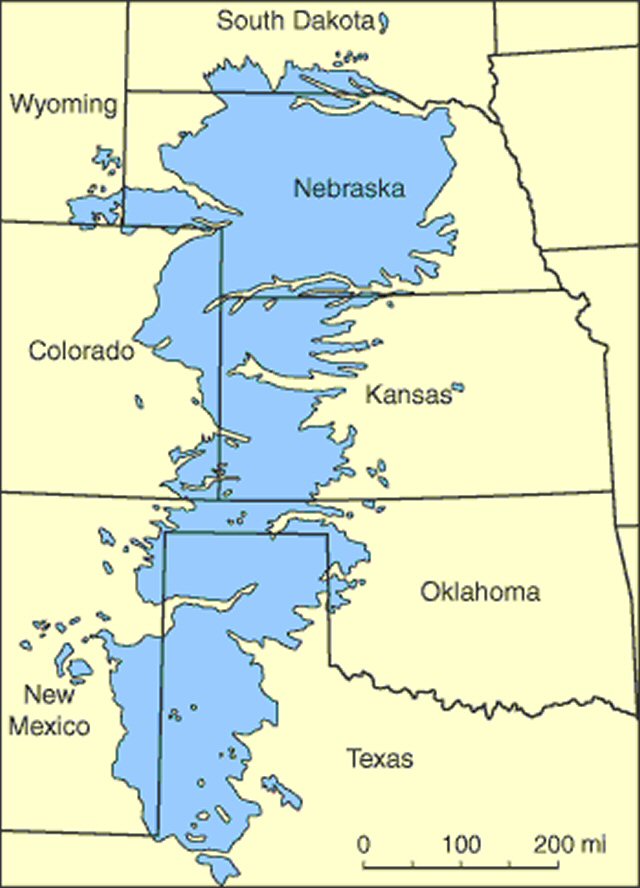
Dramatic article describing in great detail how the Ogallala Aquifer
beneath eight (8) states in the Great Plains, the breadbasket of the United States and a good portion of the world, is being depleted at an astonishing rate. It’s fossil water 10 million years old, and rain does not recharge it. Incidentally, aquifer depletion is not limited to the U.S. China and India, to name two, are having similar problems. Clearly, the world is facing a catastrophe. Food production will decline just as the population explodes to an estimated 9 billion by 2050.
Depletion of Aquifers
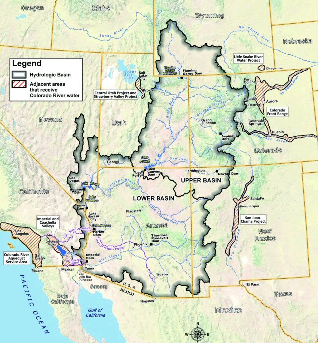
A study found in the Geophysical Research Letters of the Colorado River Basin that serves 40 million people in Arizona, Colorado, Utah, Wyoming, California, New Mexico and Nevada
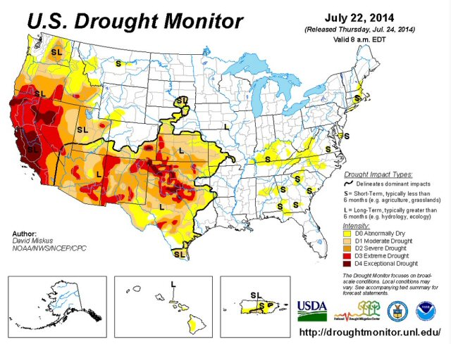
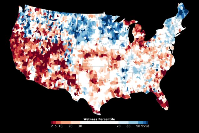
shows that the 14-year drought across the western United States has sapped underground water on a much larger scale than previously believed.
Fully three quarters of the water loss –53 million acre feet (65 cubic kilometers)- has come from aquifer depletion, an amount almost double the volume of the nation’s largest reservoir, Lake Mead.
This is the first study to quantify the amount that groundwater contributes to the area’s use; however no one knows how much is left or when it will run out. The data shows a high and long-term reliance on groundwater to make up the difference between supply and demand at a time when declining snowpack and population growth threaten the long-term ability of the basin to meet its water allocation commitments.
Colorado River Study -2012
Landmark 2012 study (in English, .pdf file) prepared by the U.S. Bureau of Reclamation detailing the alarming condition of the Colorado River. The unrelenting drought, which began in 1999, declining precipitation due to global warming, and increasing demand will inevitably result in a chronic shortfall. In an effort to offset it, states are pumping more groundwater, but that too is unsustainable as it is being rapidly depleted. Since 80% of the water is used in agriculture, food production will decline, new construction will be stymied, and thousands of jobs will be lost. In a nutshell, unless something drastic is done, and soon, the situation will get much, much worse.
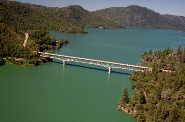
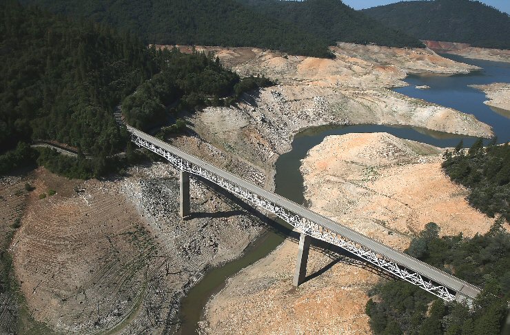
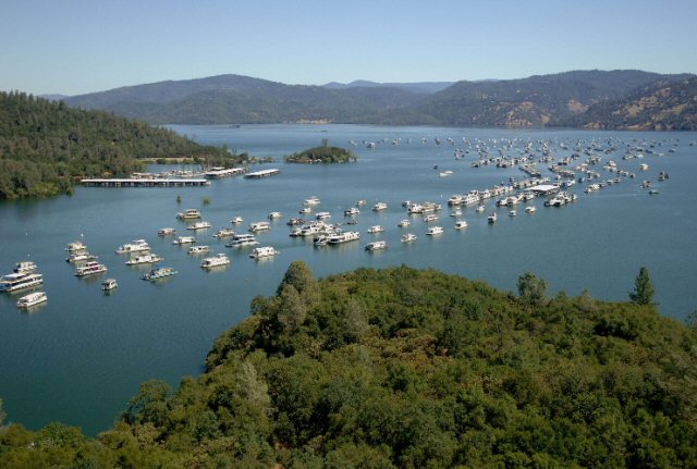
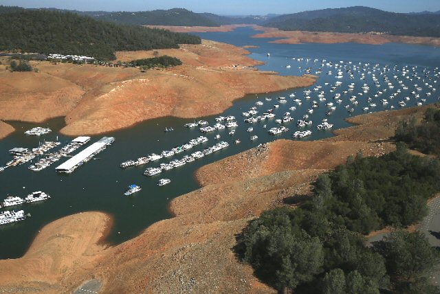
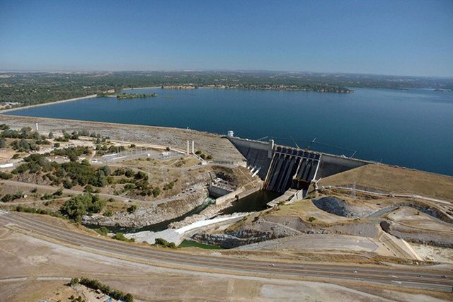
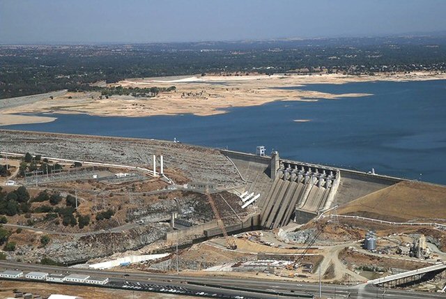
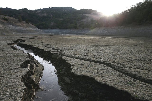
California Drought Photos 2013-2014
Global warming at work
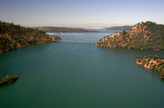
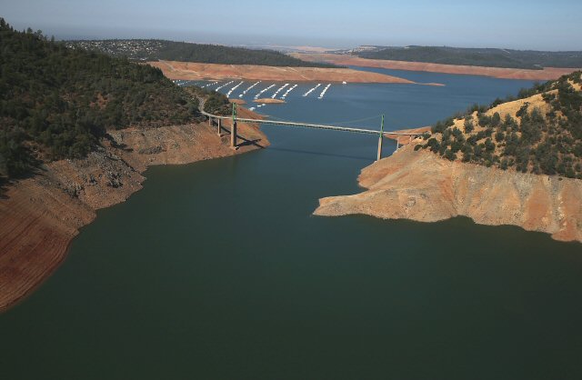
Before and after photos taken at Lake Oroville, CA on 07/20/2011 and 08/19/2014.

